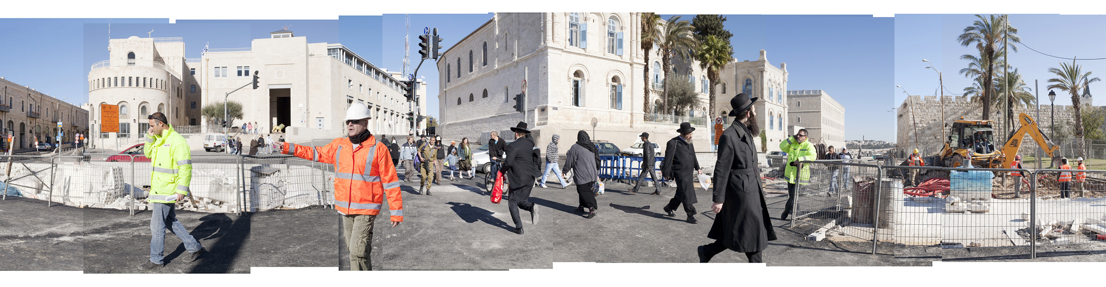
"Green Line", crossing point on the green line, the 1948 armistice line, limit separating West Jerusalem, the jews part, from East Jerusalem, the arabs part, occupied since 1967 by the Israeli forces. Jerusalem, Israël - Occupied Territories, 2009.
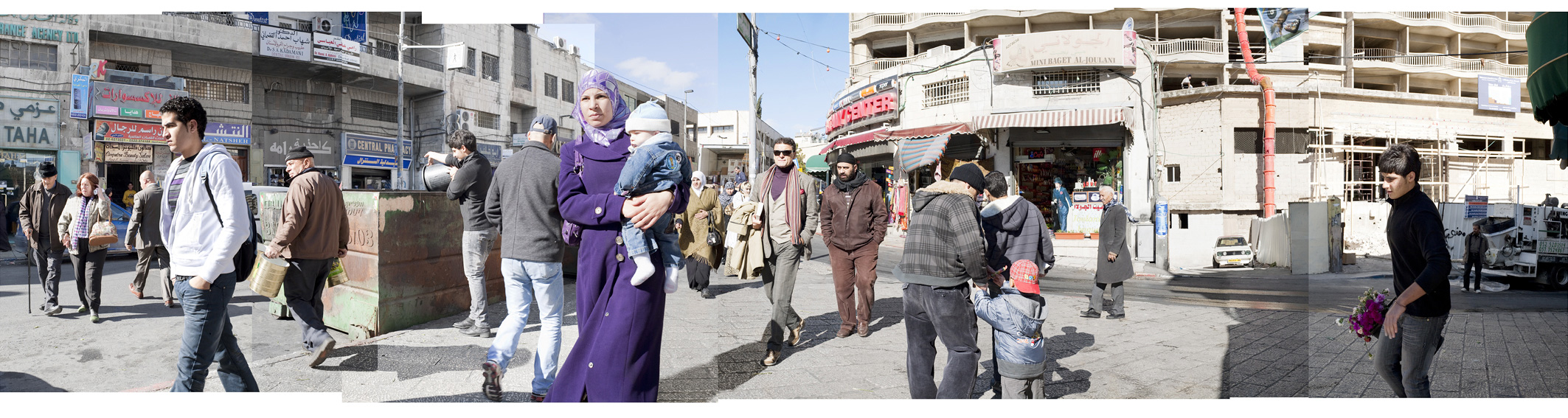
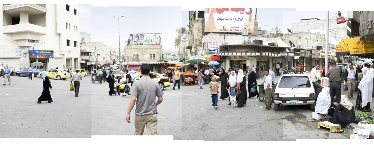
"Salah Ad-Din Street", main avenue of East Jerusalem, the arabs part of the town, occupied since 1967 by the Israeli forces. Jerusalem, Occupied Territories, 2009.
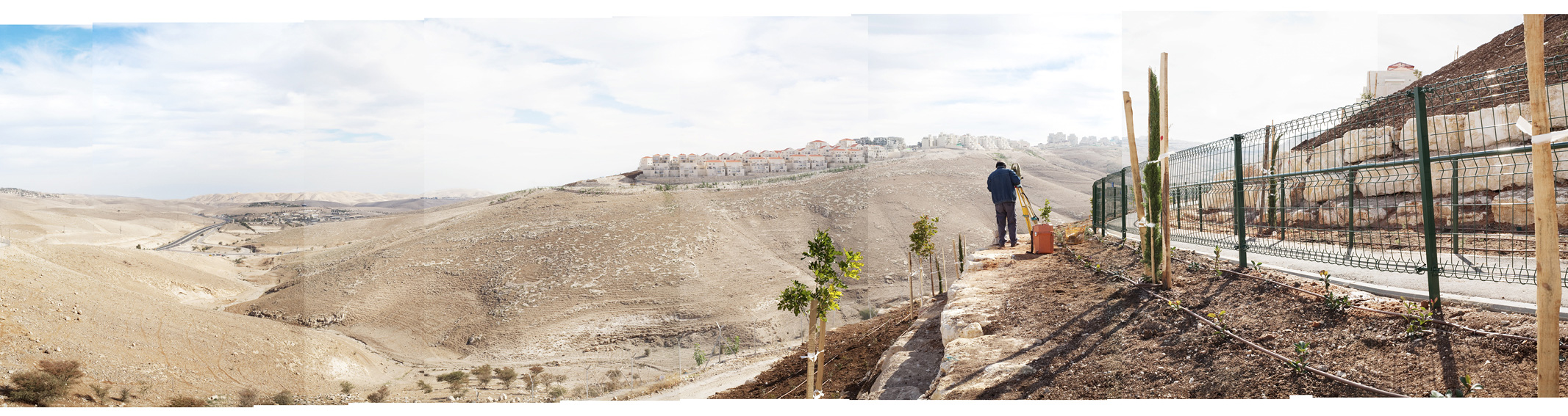
"Landscape of Judea", district under construction of the Jewish colony of Maale Adoumim. West Bank, Occupied Territories, 2009.
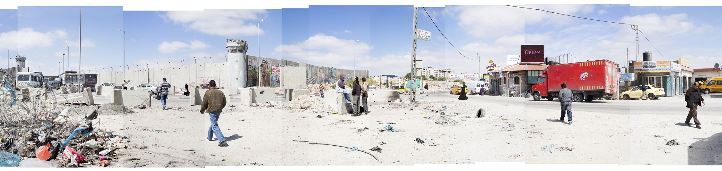
"Separation barrier", passage between Israel and the zone under control of the palestinian Authority. Qalandiya, Palestinian Territories, 2010.
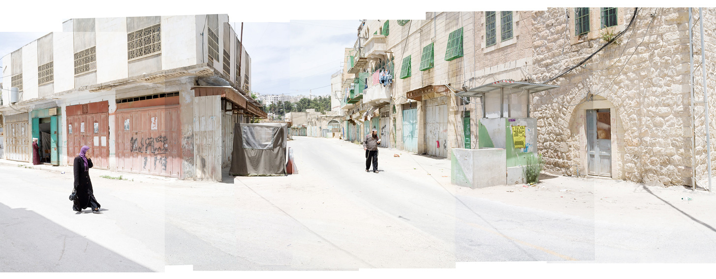
"Bab El Zawiyeh", limit between the old city and the new town, Hebron, West Bank, Palestinian Territories, 2009.
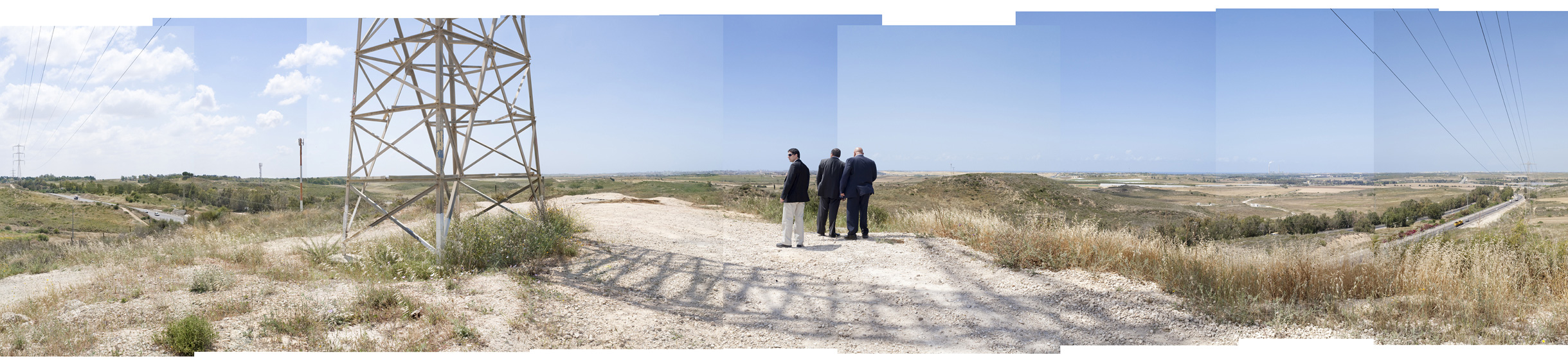
"Point of view on Gaza", Avigdor Liberman (in the center), extreme right-wing leader and Foreign Secretary of Israel, with David Bouskila (to the right), mayor of Sderot, observing the border with the Gaza Strip located 2,5 km ahead. Sderot, Israël, 2010.
"Meeting point", zone of the Old town of Hebron under control of the Israeli army, a Jewish settler goes, by praying, to the grave of the Patriarches and the Matriarches. West Bank, Palestinian Territories, 2009.

"Unrecognized", rests of the Bedouin village al-Arakib, "not recognized" by the state of Israel, after his destruction by the Israeli police forces, Negev desert, Israel, 2010.
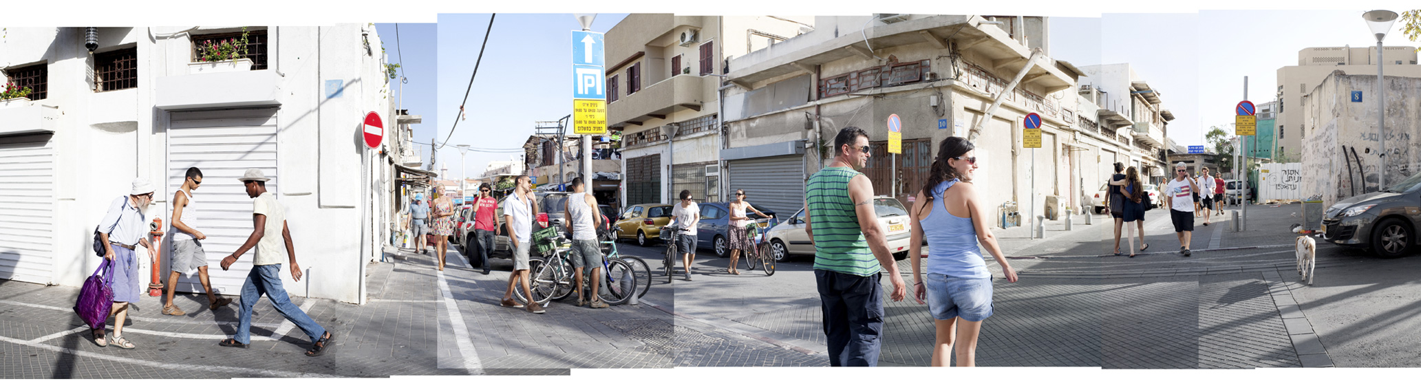
« Jaffa », Jaffa, Israel, 2010.
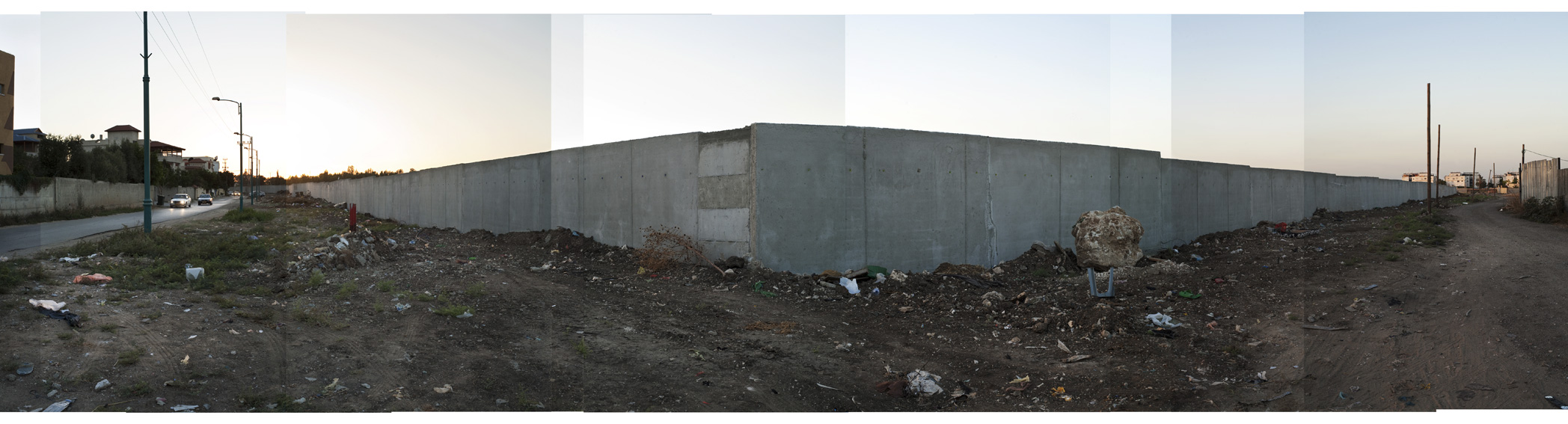
"Interior wall", "acoustic" wall set up at the request of the inhabitants of the Moshav Nir Zvi, a middle class jewish community, to assure a physical and visual separation with their neighbors of Pardes Snir, a poor arabic distric with a strong reputation for crime and drugs, Lod, Israel, on 2010.